Thanks for logging in.

You can now click/tap WATCH to start the live stream.

Thanks for logging in.

You can now click/tap LISTEN to start the live stream.

Thanks for logging in.

You can now click/tap LATEST NEWS to start the live stream.

LISTEN
Watch
on air now

Create a 3AW account today!

You can now log in once to listen live, watch live, join competitions, enjoy exclusive 3AW content and other benefits.


Joining is free and easy.

You will soon need to register to keep streaming 3AW online. Register an account or skip for now to do it later.

Advertisement
Advertisement
Advertisement

Satellites relaying faster flood information.

Rural News

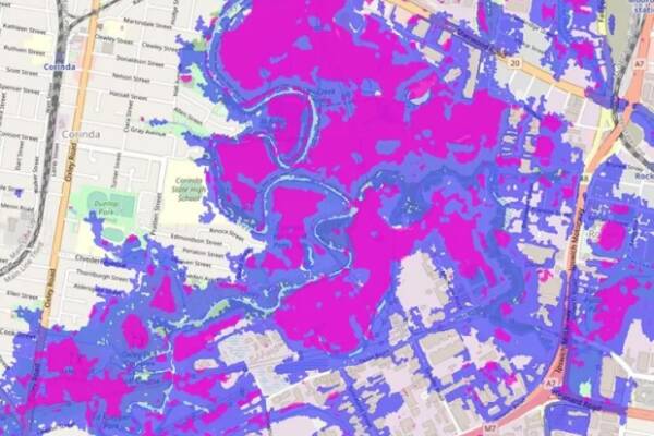
Improved satellite imagery is being highlighted as an option to better protect communities during future flood events.

University of Queensland researchers have found satellites, with radar imaging sensors, were better equipped to see through clouds than standard drones..making it easier to determine the extent of flooding.

Rural editor Sophie Clarke caught up with Professor Stuart Phinn to hear more about the tech and how it could eventually help authorities more quickly assess changes and alert people in at-risk areas.

Rural News
Advertisement